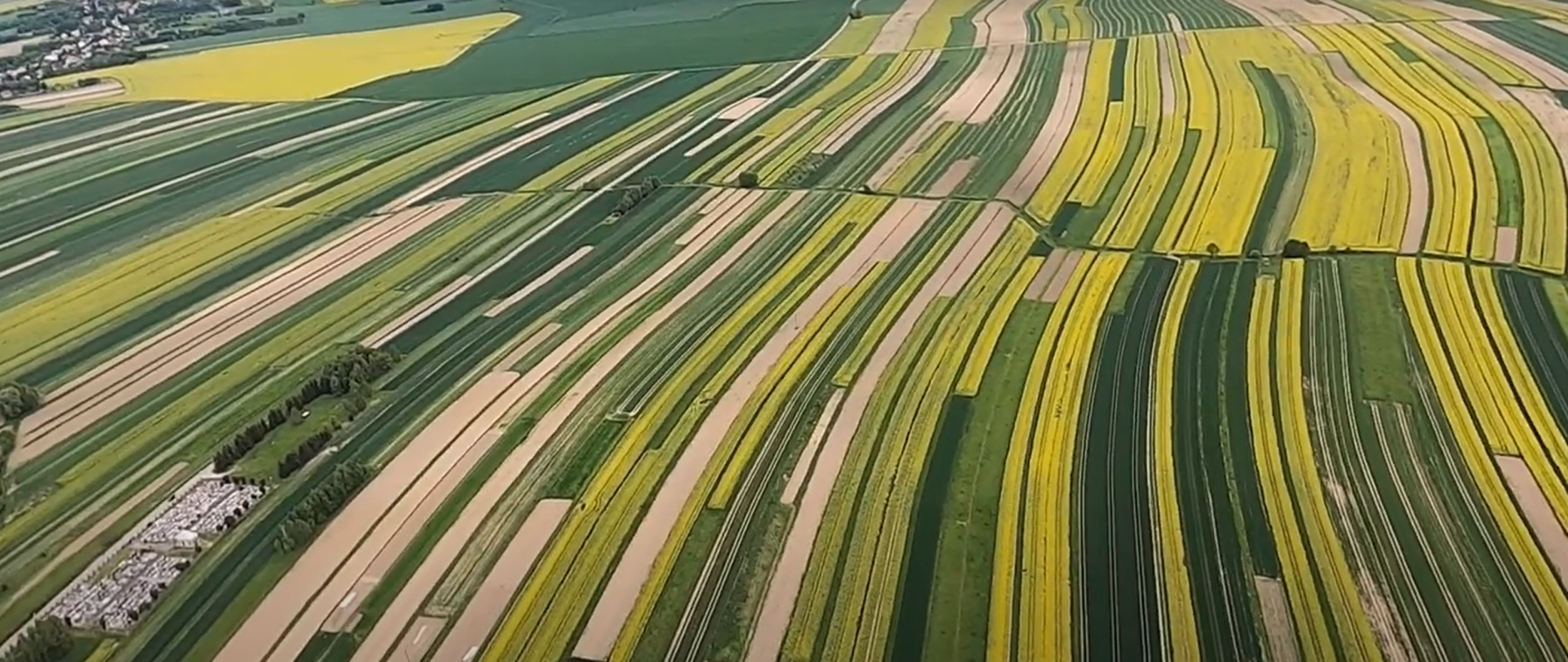
Remote sensing methods for measuring the extent and cause of plant damage
 Project title
Remote sensing methods for measuring the extent and cause of plant damage
 Name of Beneficiary/Beneficiaries
SmallGIS sp z o.o.
 Name of programme
Smart Growth Operational Programme
 Competition
Fast track
 Project value
PLN 8,352,665.84
 Funding value
PLN 6,269,311.97
 Project delivery period
from 02-07-2017 to 30-04-2021
Meet our team
The project was carried out by SmallGIS. The implementation of R&D results and their commercialisation is being carried out by OnGeo in the OnGeo Agro service, winner of the 2020 agricultural innovation competition. Both expert companies in the geoinformatics industry, were formed as part of a single capital group by the companies' chairman, Antoni Labaj. Over the course of 20 years, we have been able to build up a team of highly qualified specialists in the fields of Satellite and Aerial Remote Sensing, Photogrammetry, Spatial Information Systems, Information Systems and GPS/GNSS Technology. We are a manufacturer of specialised GIS software. We also offer solutions in the field of Spatial Information Systems, which are created for specific customer requirements, and state-of-the-art technological solutions for the agricultural and forestry industry. Based on our knowledge and experience, we have successfully implemented numerous services for a wide range of our clients, such as state and local government institutions, research centres and private sector companies. We also provide a wide range of industry-specific GIS training courses, during which we pass on the practical and theoretical knowledge we have acquired. Both basic and advanced level training is on offer. SmallGIS and OnGeo are a guarantee of professionalism, reliability and an individual approach to the customer. These strengths, combined with the high quality of our services, give satisfaction to all who benefit from our many years of experience in the GIS sector.
Both professionally and privately, we are a competent, close-knit and well-understood team of engineers for whom solving structural and engineering issues is the main goal.
See the result of our work
The result of our work is the OnGeo Agro information service, which provides services for the acquisition, processing and sharing of agricultural crop data. We have developed damage estimation methods using remote sensing, GIS-class information systems, advanced processing and reporting methods and algorithms, and field measurements.
In the course of the project, diverse, advanced data acquisition methods, the results of thorough research and analysis also involving the fields of statistics, computer science and biology, as well as dedicated IT solutions, have been consolidated into a single coherent remote sensing service for assessing the extent of plant damage.
Although very sophisticated IT systems and observation technologies are at the heart of OnGeo Agro, the whole process of determining the extent of the damage is very simple and transparent for the user. The agricultural producer, as the aggrieved party, using the OnGeo Agro digital map, indicates the parcel of land on the computer screen or draws the shape of the crop, thus defining the area to be reported for monitoring. He then fills in a simple information form stating the species of the crop, the date of sowing, the period of damage and the type of damage. Optionally, you can include your own photographs of the damage. In the next step, contact information must be completed. On the basis of the information entered, it can save the form and also generate a damage report document and address it directly to the institution responsible for settling the damage. The damage handler can commission a remote sensing analysis using the OnGeo Agro portal tools. Once the request for remote sensing analysis has been submitted, the request goes into the flight planning system, here it is converted into an operational plan, and then the observation-patrol flight is launched. During the flight, plots submitted for observation are recorded using a multisensory tool specifically adapted for the purpose of recognising and measuring crop parameters. Alternatively, own data, acquired for the crop, e.g. from a drone, can be uploaded to OnGeo Agro. After processing, the data is fed into the OnGeo Agro system in the form of information products ready for use by the appraiser or damage assessment committee.
Video
What problem does our project solve?
The project is a solution to the nationwide problem of assessing the extent of crop damage and investigating the accuracy of crop damage estimation.
Every year in Poland, around EUR 10 billion is paid out for crop damage. The costs of the loss adjustment process in terms of field inspection and damage determination are estimated at PLN 10-15 million per year, depending on the severity of the causal factors in a given year. A large proportion of the damage is insured and is subject to assessment during the 'loss adjustment' process by insurance companies, provincial offices and hunting clubs (the competences of the latter are transferred by the new hunting law to the provincial governor). Determining the extent of the damage and its actual cause is a frequent subject of dispute as to the surface extent and percentage of damage. Many disputes take on a judicial nature. Stakeholders in the process include crop owners, insurance companies, the Treasury, chambers of agriculture, farmers' appraisers.
The remote sensing assessment process proposed in the project is objective and has an evidential value in terms of the material collected. The proposed method also provides a uniform approach to estimation. By bringing together information on various production conditions in a single knowledge base, phenomena can be mapped precisely and efficiently and damage can be estimated, thereby counteracting the negative effects of incidents locally. Combining their competences, OnGeo and SmallGIS provide a comprehensive offer for Polish agriculture in the field of crop damage observation. The solution consists of the OnGeo Agro agricultural geoportal - remote sensing damage assessment protocols and patrol aircraft monitoring crop damage. Through OnGeo Agro, it is possible to generate hunting damage assessment protocols in accordance with the regulation, report crop damage and have this damage analysed.
Who is going to benefit from the project results?
The OnGeo Agro system, maximises the work of the appraiser or damage assessment committee, whose job it is to actually assess the yield loss. This is done by assigning the magnitude of the loss in remote-sensed and surface-measured visible crop damage categories. A simple damage size calculator, combining remote sensing information and expert knowledge, allows the surveyor to generate a damage estimation protocol.
Damage assessment is a demanding activity, as it determines the estimated value of the crop and prejudges the amount of compensation, so there is often a civil dispute. Thanks to OnGeo Agro's accurate data showing the condition of the crop and the damage, the parties have excellent, uncontroversial documentation to prove the facts. Using OnGeo Agro, the work of the damage assessor becomes more efficient, easier and more convenient and, most importantly, more decisive and reliable.